
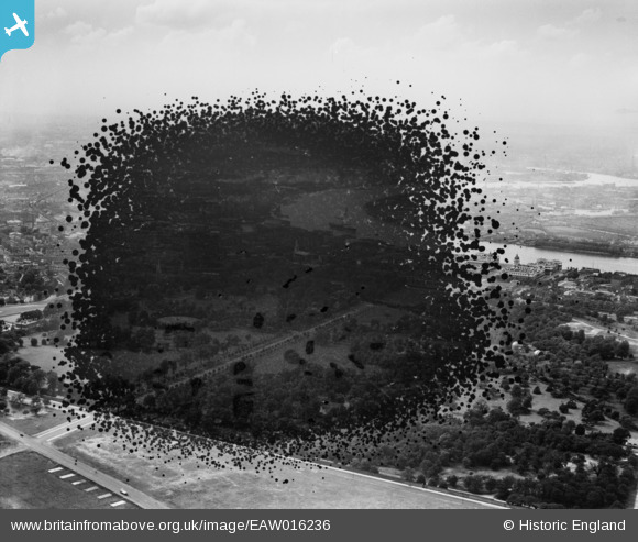
eaw016236 ENGLAND (1948). Greenwich Park (site of), Greenwich, from the south-east, 1948. This image has been produced from a damaged negative.
© Copyright OpenStreetMap contributors and licensed by the OpenStreetMap Foundation. 2024. Cartography is licensed as CC BY-SA.
Details
| Title | [EAW016236] Greenwich Park (site of), Greenwich, from the south-east, 1948. This image has been produced from a damaged negative. |
| Reference | EAW016236 |
| Date | 8-June-1948 |
| Link | |
| Place name | GREENWICH |
| Parish | |
| District | |
| Country | ENGLAND |
| Easting / Northing | 539231, 177011 |
| Longitude / Latitude | 0.0050038399843049, 51.474418878738 |
| National Grid Reference | TQ392770 |
Pins
 redmist |
Tuesday 26th of December 2023 03:11:19 PM | |
 Class31 |
Thursday 7th of August 2014 07:34:02 AM | |
Class31 |
Thursday 7th of August 2014 07:32:46 AM | |
Class31 |
Thursday 7th of August 2014 07:31:51 AM | |
Class31 |
Thursday 7th of August 2014 07:30:18 AM |


User Comment Contributions
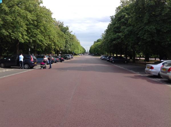
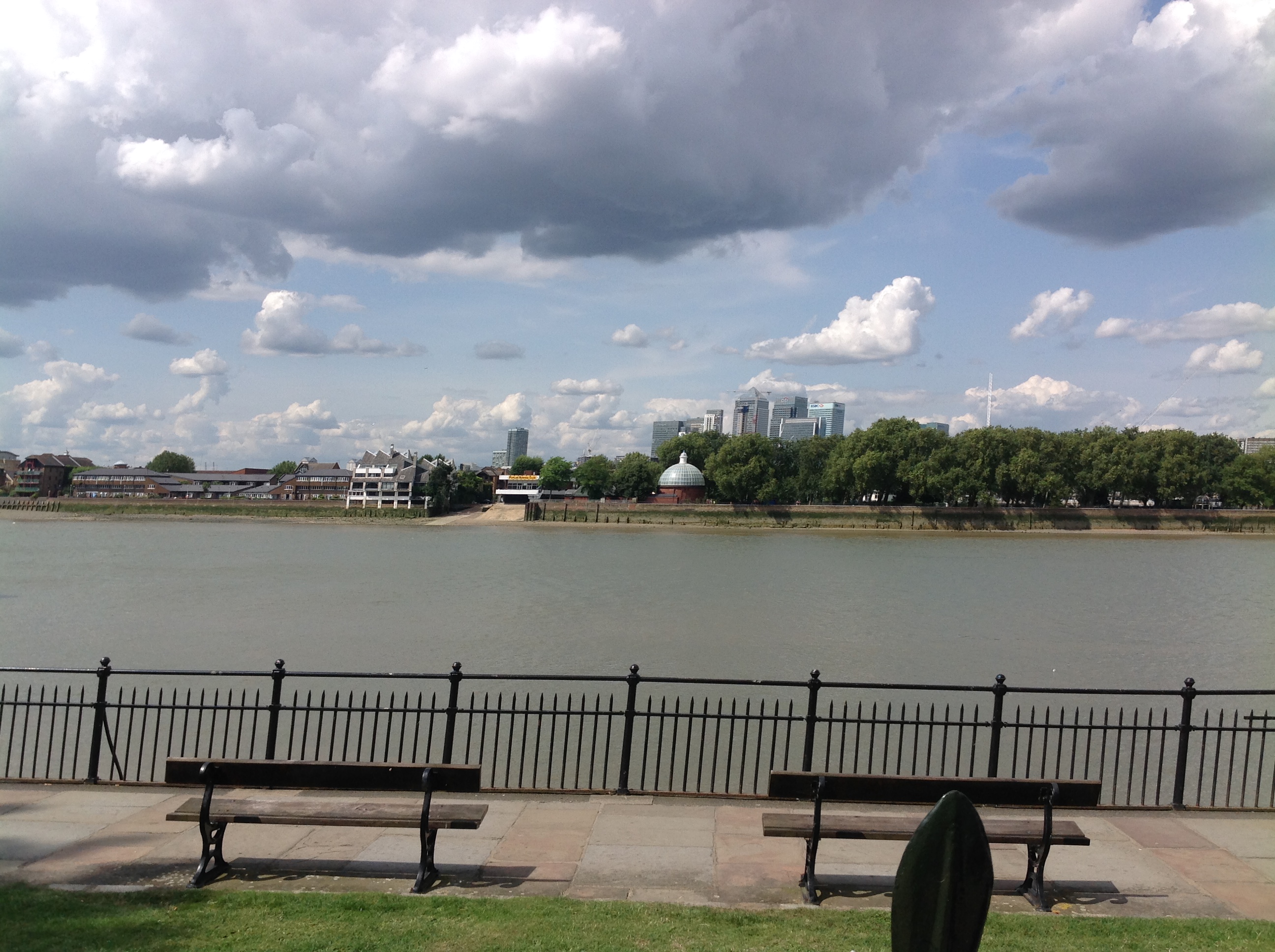 The Thames, Greenwich, 04/08/2014 |
Class31 |
Thursday 7th of August 2014 07:35:14 AM |


