
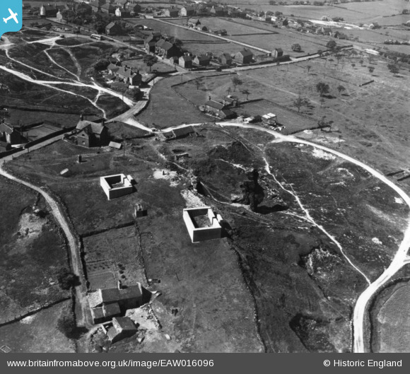
eaw016096 ENGLAND (1948). Former quarry site at the Old Man of Mow, Mow Cop, 1948. This image has been produced from a print.
© Copyright OpenStreetMap contributors and licensed by the OpenStreetMap Foundation. 2024. Cartography is licensed as CC BY-SA.
Nearby Images (4)
EAW016096

EAW016097

EAW016094

EAW016095

Details
| Title | [EAW016096] Former quarry site at the Old Man of Mow, Mow Cop, 1948. This image has been produced from a print. |
| Reference | EAW016096 |
| Date | 21-May-1948 |
| Link | |
| Place name | MOW COP |
| Parish | ODD RODE |
| District | |
| Country | ENGLAND |
| Easting / Northing | 385836, 357546 |
| Longitude / Latitude | -2.2116366360982, 53.114612810871 |
| National Grid Reference | SJ858575 |
Pins
Be the first to add a comment to this image!


