
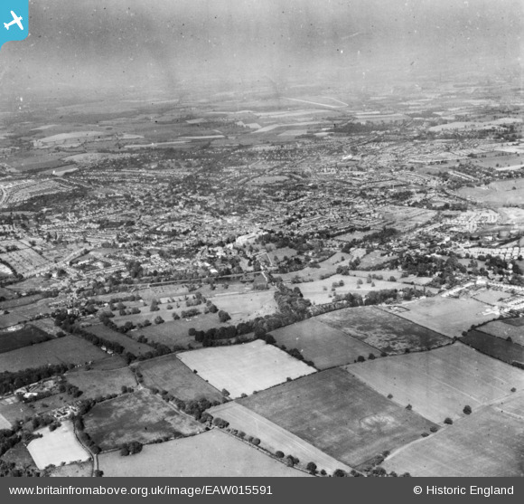
eaw015591 ENGLAND (1948). The site of Verulamium Roman Town and the city, St Albans, from the south-west, 1948. This image has been produced from a print.
© Copyright OpenStreetMap contributors and licensed by the OpenStreetMap Foundation. 2024. Cartography is licensed as CC BY-SA.
Nearby Images (2)
EAW015591

EAW015590

Details
| Title | [EAW015591] The site of Verulamium Roman Town and the city, St Albans, from the south-west, 1948. This image has been produced from a print. |
| Reference | EAW015591 |
| Date | 13-May-1948 |
| Link | |
| Place name | ST ALBANS |
| Parish | |
| District | |
| Country | ENGLAND |
| Easting / Northing | 513410, 206590 |
| Longitude / Latitude | -0.35707876393563, 51.746061216351 |
| National Grid Reference | TL134066 |
Pins
 Graham Yaxley |
Tuesday 11th of August 2015 12:03:53 AM | |
At Hatfield |
John W |
Tuesday 2nd of August 2016 05:57:00 PM |


