
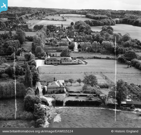
eaw015124 ENGLAND (1948). Fangate Manor Farm and the surrounding area, East Horsley, from the north, 1948. This image was marked by Aerofilms Ltd for photo editing.
© Copyright OpenStreetMap contributors and licensed by the OpenStreetMap Foundation. 2024. Cartography is licensed as CC BY-SA.
Nearby Images (4)
EAW015124

EAW015125

EAW015123

EAW015122

Details
| Title | [EAW015124] Fangate Manor Farm and the surrounding area, East Horsley, from the north, 1948. This image was marked by Aerofilms Ltd for photo editing. |
| Reference | EAW015124 |
| Date | 30-April-1948 |
| Link | |
| Place name | EAST HORSLEY |
| Parish | EAST HORSLEY |
| District | |
| Country | ENGLAND |
| Easting / Northing | 509313, 152970 |
| Longitude / Latitude | -0.43302982293703, 51.264880345036 |
| National Grid Reference | TQ093530 |
Pins
Be the first to add a comment to this image!


