
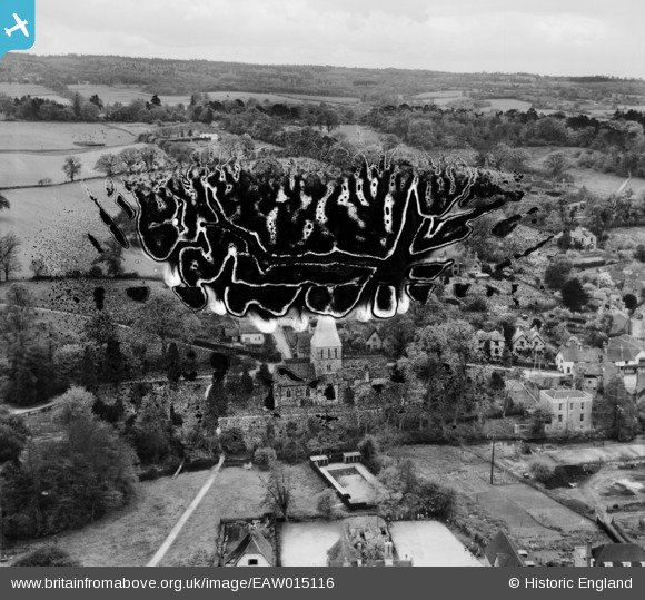
eaw015116 ENGLAND (1948). St James's Church, Shere, from the north, 1948. This image has been produced from a damaged negative.
© Copyright OpenStreetMap contributors and licensed by the OpenStreetMap Foundation. 2024. Cartography is licensed as CC BY-SA.
Nearby Images (6)
EAW015116

EAW015118

EAW015117

EAW015115

EAW015119

EAW015120

Details
| Title | [EAW015116] St James's Church, Shere, from the north, 1948. This image has been produced from a damaged negative. |
| Reference | EAW015116 |
| Date | 30-April-1948 |
| Link | |
| Place name | SHERE |
| Parish | SHERE |
| District | |
| Country | ENGLAND |
| Easting / Northing | 507448, 147772 |
| Longitude / Latitude | -0.46131377692639, 51.218506822336 |
| National Grid Reference | TQ074478 |
Pins
Be the first to add a comment to this image!


