
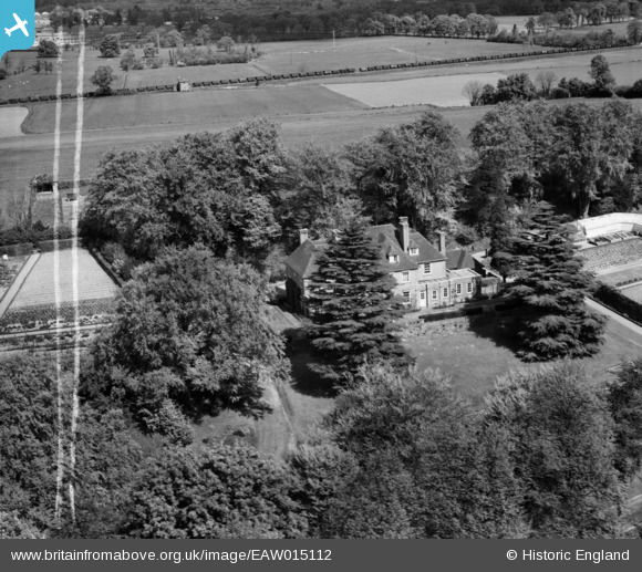
eaw015112 ENGLAND (1948). Runfold Manor, Sandy Cross, 1948. This image was marked by Aerofilms Ltd for photo editing.
© Copyright OpenStreetMap contributors and licensed by the OpenStreetMap Foundation. 2024. Cartography is licensed as CC BY-SA.
Nearby Images (7)
EAW015112

EAW015110

EAW015109

EAW015113

EAW015114

EAW015111

EAW015108

Details
| Title | [EAW015112] Runfold Manor, Sandy Cross, 1948. This image was marked by Aerofilms Ltd for photo editing. |
| Reference | EAW015112 |
| Date | 30-April-1948 |
| Link | |
| Place name | SANDY CROSS |
| Parish | TONGHAM |
| District | |
| Country | ENGLAND |
| Easting / Northing | 487835, 147885 |
| Longitude / Latitude | -0.74206917963444, 51.222878056356 |
| National Grid Reference | SU878479 |
Pins
 DavidB |
Sunday 10th of March 2024 06:08:25 PM |


