
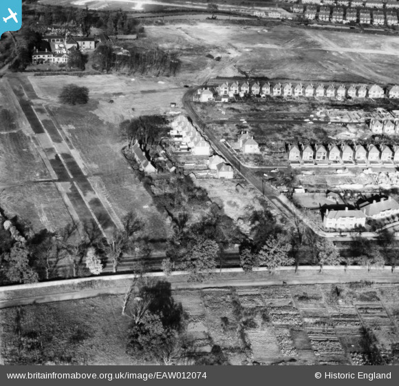
eaw012074 ENGLAND (1947). The residential area surrounding Brendon Road under construction, Wollaton, 1947
© Copyright OpenStreetMap contributors and licensed by the OpenStreetMap Foundation. 2024. Cartography is licensed as CC BY-SA.
Nearby Images (6)
EAW012074

EAW012075

EAW012077

EAW012076

EAW012073

EAW012066

Details
| Title | [EAW012074] The residential area surrounding Brendon Road under construction, Wollaton, 1947 |
| Reference | EAW012074 |
| Date | 5-November-1947 |
| Link | |
| Place name | WOLLATON |
| Parish | |
| District | |
| Country | ENGLAND |
| Easting / Northing | 453347, 340107 |
| Longitude / Latitude | -1.2058208300729, 52.95536836287 |
| National Grid Reference | SK533401 |
Pins
Be the first to add a comment to this image!


