
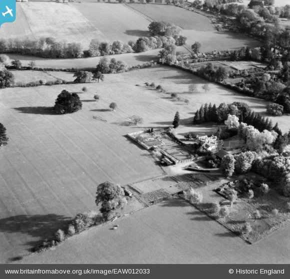
eaw012033 ENGLAND (1947). Common Barn, Remenham Hill, 1947
© Copyright OpenStreetMap contributors and licensed by the OpenStreetMap Foundation. 2024. Cartography is licensed as CC BY-SA.
Nearby Images (7)
EAW012033

EAW012036

EAW012037

EAW012034

EAW012035

EAW012038

EAW044564

Details
| Title | [EAW012033] Common Barn, Remenham Hill, 1947 |
| Reference | EAW012033 |
| Date | 3-November-1947 |
| Link | |
| Place name | REMENHAM HILL |
| Parish | REMENHAM |
| District | |
| Country | ENGLAND |
| Easting / Northing | 478006, 183196 |
| Longitude / Latitude | -0.87504732702023, 51.541786161351 |
| National Grid Reference | SU780832 |
Pins
Be the first to add a comment to this image!


