
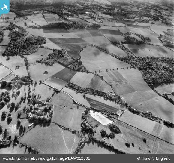
eaw012031 ENGLAND (1947). Countryside around Bottom Copse and Clapgate Copse, Whiteparish, 1947
© Copyright OpenStreetMap contributors and licensed by the OpenStreetMap Foundation. 2024. Cartography is licensed as CC BY-SA.
Details
| Title | [EAW012031] Countryside around Bottom Copse and Clapgate Copse, Whiteparish, 1947 |
| Reference | EAW012031 |
| Date | 3-November-1947 |
| Link | |
| Place name | WHITEPARISH |
| Parish | WHITEPARISH |
| District | |
| Country | ENGLAND |
| Easting / Northing | 421947, 123736 |
| Longitude / Latitude | -1.6871178847928, 51.012045384626 |
| National Grid Reference | SU219237 |
Pins
Be the first to add a comment to this image!


