
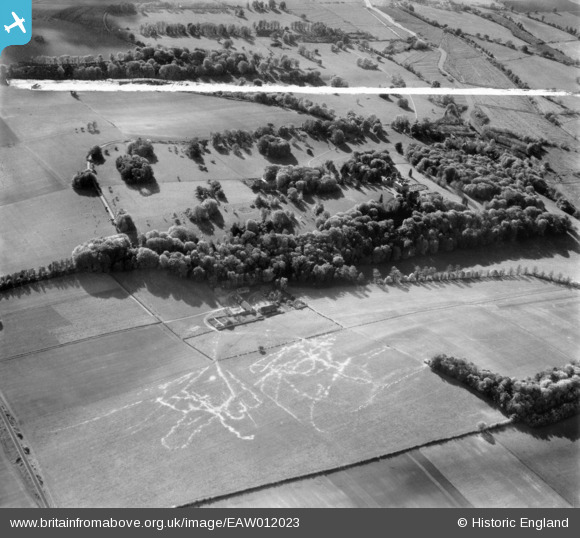
eaw012023 ENGLAND (1947). Standlynch Farm and Trafalgar Park, Downton, 1947. This image was marked by Aerofilms Ltd for photo editing.
© Copyright OpenStreetMap contributors and licensed by the OpenStreetMap Foundation. 2024. Cartography is licensed as CC BY-SA.
Details
| Title | [EAW012023] Standlynch Farm and Trafalgar Park, Downton, 1947. This image was marked by Aerofilms Ltd for photo editing. |
| Reference | EAW012023 |
| Date | 3-November-1947 |
| Link | |
| Place name | DOWNTON |
| Parish | DOWNTON |
| District | |
| Country | ENGLAND |
| Easting / Northing | 418953, 123941 |
| Longitude / Latitude | -1.7297898628355, 51.013995474578 |
| National Grid Reference | SU190239 |
Pins
Be the first to add a comment to this image!


