
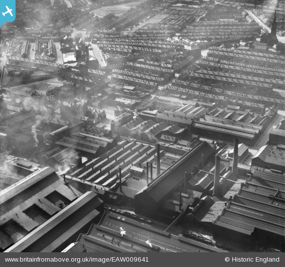
eaw009641 ENGLAND (1947). The Atlas and Norfolk Steel Works, Sheffield, 1947
© Copyright OpenStreetMap contributors and licensed by the OpenStreetMap Foundation. 2024. Cartography is licensed as CC BY-SA.
Nearby Images (17)
EAW009641

EAW009640

EAW009652

EAW018802
, Burngreave, 1948. This image has been produced from a damaged negative.")
EAW009648

EAW009647

EAW009642

EAW009667

EAW009661

EAW009663

EAW009666

EAW009662

EAW018779

EAW009643

EAW009655

EAW018772

EAW009645

Details
| Title | [EAW009641] The Atlas and Norfolk Steel Works, Sheffield, 1947 |
| Reference | EAW009641 |
| Date | 1-September-1947 |
| Link | |
| Place name | SHEFFIELD |
| Parish | |
| District | |
| Country | ENGLAND |
| Easting / Northing | 436676, 388841 |
| Longitude / Latitude | -1.4483965518825, 53.394863603329 |
| National Grid Reference | SK367888 |


