
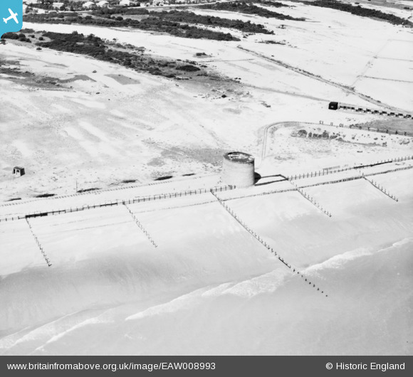
eaw008993 ENGLAND (1947). Martello Tower No 19, Hythe, 1947
© Copyright OpenStreetMap contributors and licensed by the OpenStreetMap Foundation. 2024. Cartography is licensed as CC BY-SA.
Details
| Title | [EAW008993] Martello Tower No 19, Hythe, 1947 |
| Reference | EAW008993 |
| Date | 12-August-1947 |
| Link | |
| Place name | HYTHE |
| Parish | HYTHE |
| District | |
| Country | ENGLAND |
| Easting / Northing | 613890, 132913 |
| Longitude / Latitude | 1.0523987351984, 51.055127516587 |
| National Grid Reference | TR139329 |


