
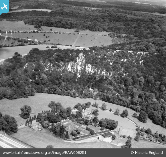
eaw008251 ENGLAND (1947). Burford Lodge and The Whites, Mickleham, 1947
© Copyright OpenStreetMap contributors and licensed by the OpenStreetMap Foundation. 2024. Cartography is licensed as CC BY-SA.
Nearby Images (3)
EAW008251

EAW043034

EPW053874

Details
| Title | [EAW008251] Burford Lodge and The Whites, Mickleham, 1947 |
| Reference | EAW008251 |
| Date | 16-July-1947 |
| Link | |
| Place name | MICKLEHAM |
| Parish | MICKLEHAM |
| District | |
| Country | ENGLAND |
| Easting / Northing | 517477, 151727 |
| Longitude / Latitude | -0.31646186680563, 51.252082554012 |
| National Grid Reference | TQ175517 |
Pins
Be the first to add a comment to this image!


