
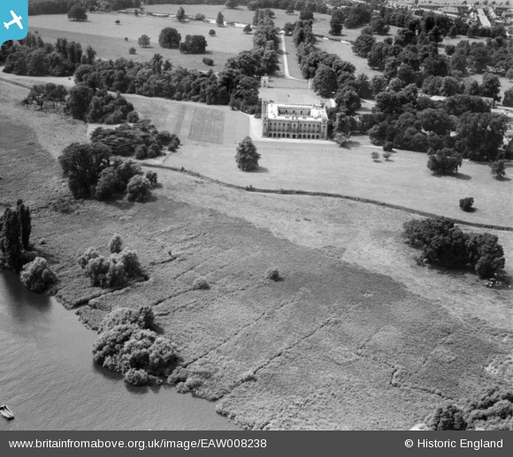
eaw008238 ENGLAND (1947). Syon House, Brentford, 1947
© Copyright OpenStreetMap contributors and licensed by the OpenStreetMap Foundation. 2024. Cartography is licensed as CC BY-SA.
Nearby Images (8)
EAW008238

EPW005274

EPW005276

EPW005273

EPW005275

EAW008236A

EPW001673

EAW008237

Details
| Title | [EAW008238] Syon House, Brentford, 1947 |
| Reference | EAW008238 |
| Date | 16-July-1947 |
| Link | |
| Place name | BRENTFORD |
| Parish | |
| District | |
| Country | ENGLAND |
| Easting / Northing | 517467, 176624 |
| Longitude / Latitude | -0.30837807136957, 51.475879070195 |
| National Grid Reference | TQ175766 |
Pins
Be the first to add a comment to this image!


