
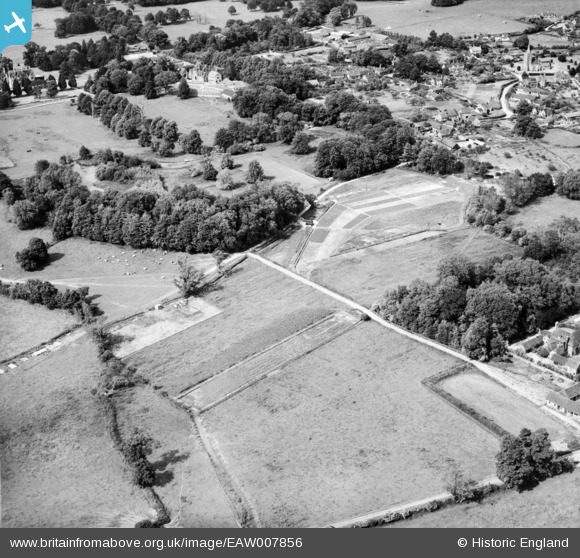
eaw007856 ENGLAND (1947). The sewage works, Iwerne Minster, 1947
© Copyright OpenStreetMap contributors and licensed by the OpenStreetMap Foundation. 2024. Cartography is licensed as CC BY-SA.
Nearby Images (16)
EAW007856

EAW007855

EAW007853

EAW007852

EAW007854

EAW007849

EAW007848

EAW007851

EAW007850

EPW050573

EAW026437

EAW026435

EAW026439

EAW026438

EAW026436

EPW050576

Details
| Title | [EAW007856] The sewage works, Iwerne Minster, 1947 |
| Reference | EAW007856 |
| Date | 22-June-1947 |
| Link | |
| Place name | IWERNE MINSTER |
| Parish | IWERNE MINSTER |
| District | |
| Country | ENGLAND |
| Easting / Northing | 386362, 114130 |
| Longitude / Latitude | -2.1940674885321, 50.925913142743 |
| National Grid Reference | ST864141 |
Pins
 Class31 |
Friday 31st of January 2014 01:30:01 PM |

User Comment Contributions
 St. Mary's Church |
Class31 |
Friday 31st of January 2014 01:23:13 PM |


