
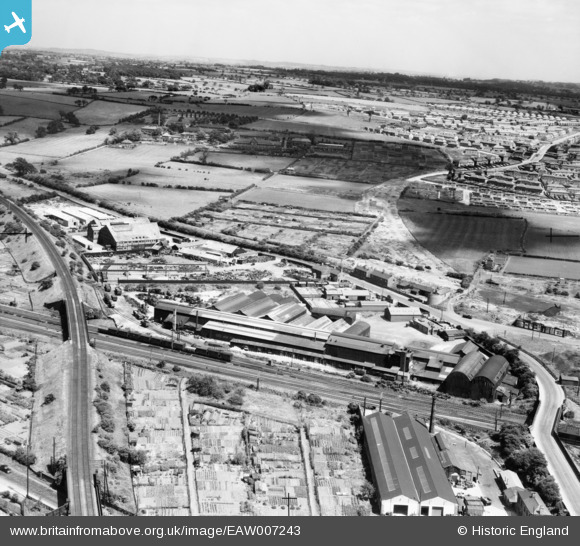
eaw007243 ENGLAND (1947). The Parker Foundry on Mansfield Road and environs, Derby, from the west, 1947
© Copyright OpenStreetMap contributors and licensed by the OpenStreetMap Foundation. 2024. Cartography is licensed as CC BY-SA.
Nearby Images (8)
EAW007243

EAW007246

EAW007245

EAW007240

EAW007239

EAW007244

EAW007241

EAW007247

Details
| Title | [EAW007243] The Parker Foundry on Mansfield Road and environs, Derby, from the west, 1947 |
| Reference | EAW007243 |
| Date | 25-June-1947 |
| Link | |
| Place name | DERBY |
| Parish | |
| District | |
| Country | ENGLAND |
| Easting / Northing | 435816, 337700 |
| Longitude / Latitude | -1.467056252352, 52.935186834042 |
| National Grid Reference | SK358377 |
Pins
 aremla |
Monday 20th of November 2023 04:34:53 PM | |
aremla |
Monday 20th of November 2023 04:32:19 PM | |
aremla |
Monday 20th of November 2023 04:31:36 PM | |
aremla |
Monday 20th of November 2023 04:30:08 PM | |
HelsyB |
Wednesday 4th of October 2023 08:09:42 PM | |
Sparky |
Sunday 8th of October 2017 03:58:57 PM | |
lather30 |
Friday 23rd of May 2014 06:37:13 PM | |
Dave Harris |
Saturday 8th of March 2014 09:12:08 PM | |
Dave Harris |
Saturday 8th of March 2014 09:11:45 PM | |
Dave Harris |
Saturday 8th of March 2014 09:02:27 PM | |
Dave Harris |
Saturday 8th of March 2014 09:01:40 PM | |
 Peter Kazmierczak |
Tuesday 3rd of December 2013 11:07:39 PM | |
Peter Kazmierczak |
Tuesday 3rd of December 2013 11:06:17 PM | |
Peter Kazmierczak |
Tuesday 3rd of December 2013 11:05:00 PM |


