
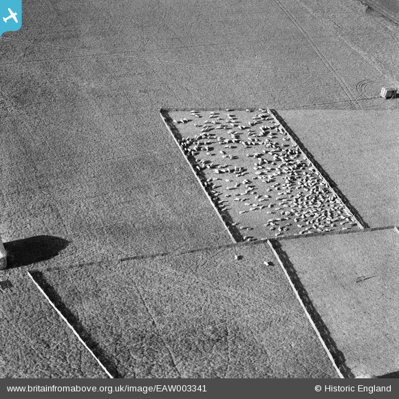
eaw003341 ENGLAND (1946) [Unlocated]. Pen of sheep probably in the locality of Stonehenge, unlocated
© Copyright OpenStreetMap contributors and licensed by the OpenStreetMap Foundation. 2024. Cartography is licensed as CC BY-SA.
Nearby Images (48)
EPW000143

EPW000667

EPW005260

EPW006389
, 1921")
EPW007181

EPW015853

EPW015854

EPW015855

EPW016012

EPW016510

EPW016641

EPW017028

EPW017029

EPW017136

SAW003585

SAW003586

SAW009337

SAW009800

SAW009801

SAW009802

SAW010734

SAW014737

SAW017926

SAW017927

SAW032504

SPW020275

SPW020280

SPW020281

SPW020284

SPW020632

SPW020633

SPW027083

SPW049776

SPW049777

SPW049779

SPW049783

SPW049791

SPW049798

SPW049801

SPW049827

SPW049828

SPW049831

SPW049832

SPW049834

SPW049948

SPW049949

SPW051009

SPW062638

Details
| Title | [EAW003341] Pen of sheep probably in the locality of Stonehenge, unlocated |
| Reference | EAW003341 |
| Date | 13-November-1946 |
| Link | |
| Place name | |
| Parish | |
| District | |
| Country | ENGLAND |
| Easting / Northing | 0, 0 |
| Longitude / Latitude | -7.556448482059, 49.766185796754 |
| National Grid Reference | SV000000 |
Pins
 Class31 |
Wednesday 19th of March 2014 11:17:36 PM |
User Comment Contributions
All these fences are temporary, see how wheel tracks go through them. So will be impossible to locate as there are no permanent features. Maybe it is a sheep market sale, though I think it is some sort of intensive grazing. |
 TomRobin |
Wednesday 30th of April 2014 01:16:08 PM |


