
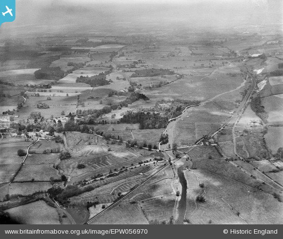
EPW056970 ENGLAND (1938). Mottisfont Abbey Duck Ground and environs, Mottisfont, from the south, 1938
© Copyright OpenStreetMap contributors and licensed by the OpenStreetMap Foundation. 2024. Cartography is licensed as CC BY-SA.
Details
| Title | [EPW056970] Mottisfont Abbey Duck Ground and environs, Mottisfont, from the south, 1938 |
| Reference | EPW056970 |
| Date | 26-April-1938 |
| Link | |
| Place name | MOTTISFONT |
| Parish | MICHELMERSH AND TIMSBURY |
| District | |
| Country | ENGLAND |
| Easting / Northing | 433017, 126244 |
| Longitude / Latitude | -1.5290773912519, 51.034070538997 |
| National Grid Reference | SU330262 |
Pins
 pjo |
Thursday 2nd of January 2020 12:11:49 AM | |
pjo |
Thursday 2nd of January 2020 12:08:48 AM | |
pjo |
Wednesday 1st of January 2020 02:04:04 PM | |
pjo |
Wednesday 1st of January 2020 02:02:41 PM | |
pjo |
Wednesday 1st of January 2020 01:59:34 PM | |
 Lee |
Wednesday 30th of October 2013 06:39:33 AM | |
Lee |
Wednesday 30th of October 2013 06:38:25 AM |


