
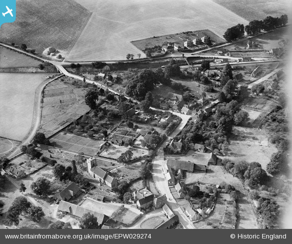
EPW029274 ENGLAND (1929). The village, Hampstead Norreys, 1929
© Copyright OpenStreetMap contributors and licensed by the OpenStreetMap Foundation. 2024. Cartography is licensed as CC BY-SA.
Nearby Images (4)
EPW029274

EPW029275

EPW029276

EPW029277

Details
| Title | [EPW029274] The village, Hampstead Norreys, 1929 |
| Reference | EPW029274 |
| Date | September-1929 |
| Link | |
| Place name | HAMPSTEAD NORREYS |
| Parish | HAMPSTEAD NORREYS |
| District | |
| Country | ENGLAND |
| Easting / Northing | 452837, 176351 |
| Longitude / Latitude | -1.2390020927685, 51.483156436564 |
| National Grid Reference | SU528764 |
Pins
 Cokie |
Wednesday 22nd of February 2017 12:43:17 PM | |
Cokie |
Wednesday 22nd of February 2017 12:21:56 PM | |
Cokie |
Wednesday 22nd of February 2017 12:21:17 PM | |
Cokie |
Wednesday 22nd of February 2017 12:20:13 PM | |
Cokie |
Wednesday 22nd of February 2017 12:19:46 PM | |
Cokie |
Wednesday 22nd of February 2017 12:19:03 PM | |
Cokie |
Wednesday 22nd of February 2017 12:18:07 PM | |
Cokie |
Wednesday 22nd of February 2017 12:17:32 PM |


