
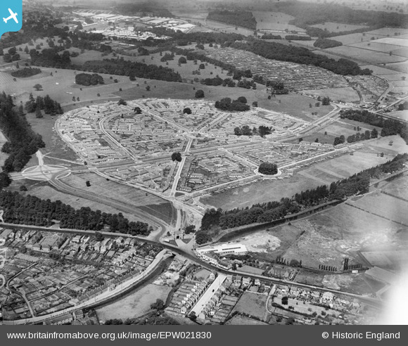
EPW021830 ENGLAND (1928). Wollaton Park Housing Estate, Wollaton, 1928
© Copyright OpenStreetMap contributors and licensed by the OpenStreetMap Foundation. 2025. Cartography is licensed as CC BY-SA.
Nearby Images (5)
EPW021830

EPW021831

EPW021829

EPW020936

EPW020937

Details
| Title | [EPW021830] Wollaton Park Housing Estate, Wollaton, 1928 |
| Reference | EPW021830 |
| Date | June-1928 |
| Link | |
| Place name | WOLLATON |
| Parish | |
| District | |
| Country | ENGLAND |
| Easting / Northing | 454529, 339424 |
| Longitude / Latitude | -1.1883412080478, 52.949109747615 |
| National Grid Reference | SK545394 |
Pins
 KC |
Thursday 19th of August 2021 01:49:45 PM | |
Geth |
Tuesday 1st of July 2014 08:36:52 PM | |
Geth |
Tuesday 1st of July 2014 08:35:05 PM |