
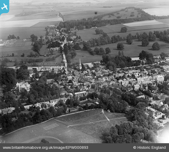
EPW000893 ENGLAND (1920). Wallingford from the Bull Croft, Wallingford, 1920
© Copyright OpenStreetMap contributors and licensed by the OpenStreetMap Foundation. 2024. Cartography is licensed as CC BY-SA.
Nearby Images (9)
EPW000893

EPW000898

EAW046250

EPW000899

EAW046251

EPW000892

EPW024731

EPW024732

EPW024733

Details
| Title | [EPW000893] Wallingford from the Bull Croft, Wallingford, 1920 |
| Reference | EPW000893 |
| Date | May-1920 |
| Link | |
| Place name | WALLINGFORD |
| Parish | WALLINGFORD |
| District | |
| Country | ENGLAND |
| Easting / Northing | 460888, 189461 |
| Longitude / Latitude | -1.1207904909471, 51.600223855006 |
| National Grid Reference | SU609895 |
Pins
Be the first to add a comment to this image!


