
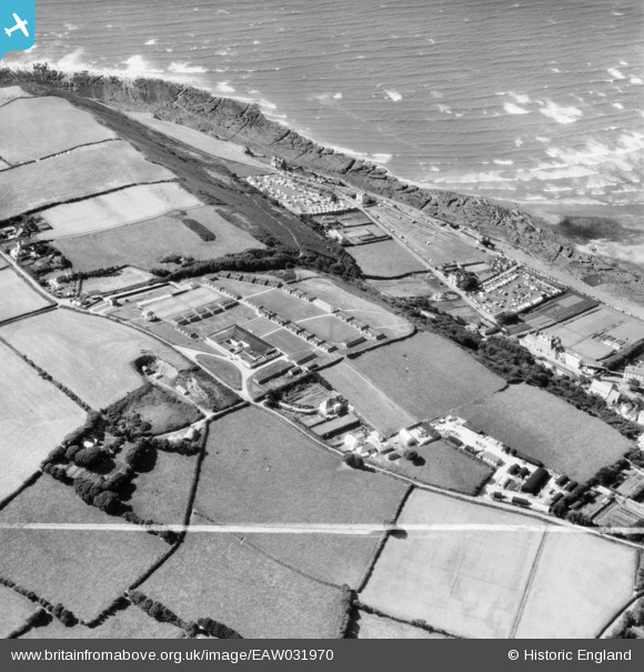
EAW031970 ENGLAND (1950). The Westward Ho! Holiday Centre, Westward Ho!, 1950. This image was marked by Aerofilms Ltd for photo editing.
© Copyright OpenStreetMap contributors and licensed by the OpenStreetMap Foundation. 2024. Cartography is licensed as CC BY-SA.
Nearby Images (3)
EAW031970

EAW031971

EAW031969

Details
| Title | [EAW031970] The Westward Ho! Holiday Centre, Westward Ho!, 1950. This image was marked by Aerofilms Ltd for photo editing. |
| Reference | EAW031970 |
| Date | 17-August-1950 |
| Link | |
| Place name | WESTWARD HO! |
| Parish | NORTHAM |
| District | |
| Country | ENGLAND |
| Easting / Northing | 242840, 128822 |
| Longitude / Latitude | -4.2418192526567, 51.036699182584 |
| National Grid Reference | SS428288 |
Pins
 Des |
Tuesday 22nd of October 2019 08:44:41 PM | |
Matt |
Friday 21st of September 2018 11:46:05 AM | |
Matt |
Friday 21st of September 2018 11:45:42 AM | |
Matt |
Friday 21st of September 2018 11:45:24 AM | |
Matt |
Friday 21st of September 2018 11:45:06 AM |


