
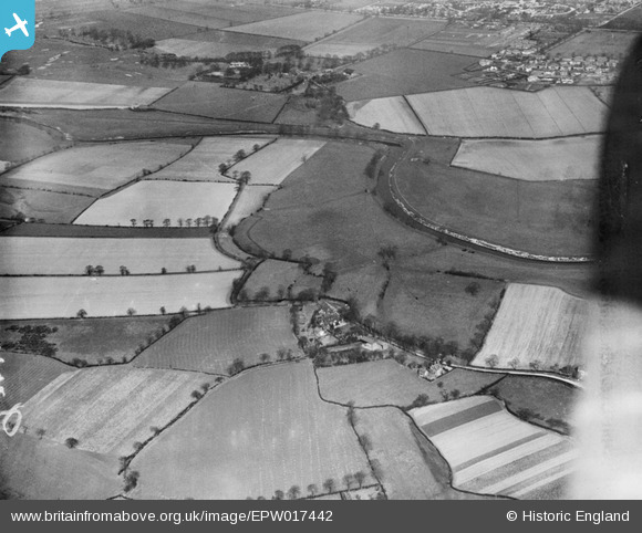
epw017442 ENGLAND (1927). Kenworthy Hall, the River Mersey and environs, Northenden, 1927
© Copyright OpenStreetMap contributors and licensed by the OpenStreetMap Foundation. 2024. Cartography is licensed as CC BY-SA.
Nearby Images (5)
EPW017442

EPW036818

EPW036817

EPW032678
 Mersey bridge under construction, Northenden, 1930")
EPW041526

Details
| Title | [EPW017442] Kenworthy Hall, the River Mersey and environs, Northenden, 1927 |
| Reference | EPW017442 |
| Date | 8-March-1927 |
| Link | |
| Place name | NORTHENDEN |
| Parish | |
| District | |
| Country | ENGLAND |
| Easting / Northing | 382334, 391137 |
| Longitude / Latitude | -2.2658287295642, 53.416481968033 |
| National Grid Reference | SJ823911 |
Pins
 John Ellis |
Wednesday 11th of July 2012 12:01:31 AM | |
John Ellis |
Wednesday 11th of July 2012 12:00:43 AM | |
John Ellis |
Tuesday 10th of July 2012 11:59:43 PM | |
John Ellis |
Tuesday 10th of July 2012 11:59:07 PM | |
John Ellis |
Tuesday 10th of July 2012 11:58:26 PM | |
John Ellis |
Tuesday 10th of July 2012 11:57:44 PM | |
John Ellis |
Tuesday 10th of July 2012 11:49:16 PM | |
John Ellis |
Tuesday 10th of July 2012 11:48:27 PM | |
John Ellis |
Tuesday 10th of July 2012 11:46:22 PM | |
John Ellis |
Tuesday 10th of July 2012 11:44:27 PM |


