
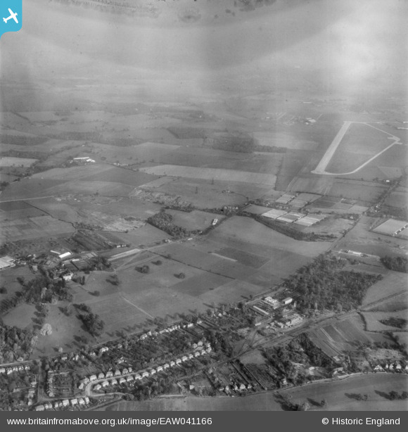
eaw041166 ENGLAND (1951). Oaklands College and the countryside west of Hatfield Aerodrome, Colney Heath, 1951. This image has been produced from a damaged negative.
© Copyright OpenStreetMap contributors and licensed by the OpenStreetMap Foundation. 2024. Cartography is licensed as CC BY-SA.
Details
| Title | [EAW041166] Oaklands College and the countryside west of Hatfield Aerodrome, Colney Heath, 1951. This image has been produced from a damaged negative. |
| Reference | EAW041166 |
| Date | 1-November-1951 |
| Link | |
| Place name | COLNEY HEATH |
| Parish | COLNEY HEATH |
| District | |
| Country | ENGLAND |
| Easting / Northing | 519042, 208052 |
| Longitude / Latitude | -0.27502869148205, 51.758033253922 |
| National Grid Reference | TL190081 |
Pins
 Andantiques |
Sunday 22nd of March 2020 02:36:13 PM | |
Andantiques |
Sunday 22nd of March 2020 02:34:10 PM | |
Mark |
Wednesday 30th of October 2019 10:54:27 PM |


