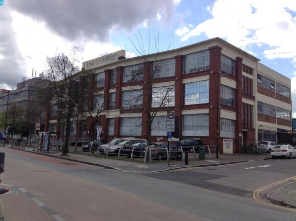
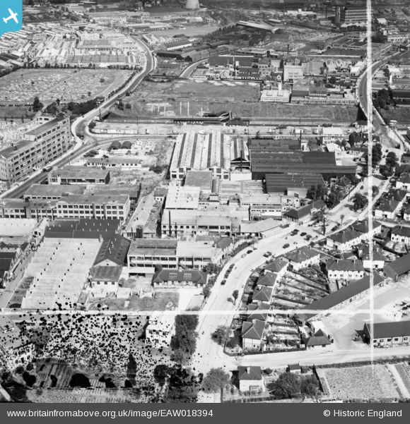
eaw018394 ENGLAND (1948). Industrial properties between Victoria Road and Wales Farm Road, North Acton, 1948. This image was marked by Aerofilms Ltd for photo editing.
© Copyright OpenStreetMap contributors and licensed by the OpenStreetMap Foundation. 2024. Cartography is licensed as CC BY-SA.
Nearby Images (35)
EAW018394

EAW018396

EPW035223

EAW019886

EPW035226

EPW035227

EAW018395

EAW018389

EPW035222

EPW035224

EPW035225

EPW035221

EPW035220

EAW019882

EAW018390

EAW019883A

EAW019883B

EAW018393

EPW035219

EAW018391

EPW058340

EAW018392

EAW018388

EAW019884

EPW048130

EPW048128

EAW019885

EPW048131

EPW048127

EAW019883

EPW048129

EAW019881

EPW062804

EPW062802

EPW062800

Details
| Title | [EAW018394] Industrial properties between Victoria Road and Wales Farm Road, North Acton, 1948. This image was marked by Aerofilms Ltd for photo editing. |
| Reference | EAW018394 |
| Date | 27-August-1948 |
| Link | |
| Place name | NORTH ACTON |
| Parish | |
| District | |
| Country | ENGLAND |
| Easting / Northing | 520774, 181770 |
| Longitude / Latitude | -0.25901592813542, 51.521436701771 |
| National Grid Reference | TQ208818 |
Pins
 Matt Aldred edob.mattaldred.com |
Thursday 7th of March 2024 03:10:00 PM | |
Matt Aldred edob.mattaldred.com |
Thursday 7th of March 2024 03:07:53 PM | |
 Class31 |
Monday 22nd of December 2014 01:19:33 PM | |
Class31 |
Monday 22nd of December 2014 01:10:38 PM | |
Class31 |
Monday 22nd of December 2014 01:08:31 PM | |
Class31 |
Monday 22nd of December 2014 01:01:28 PM | |
Class31 |
Monday 22nd of December 2014 12:59:27 PM | |
Class31 |
Monday 22nd of December 2014 12:51:41 PM |