
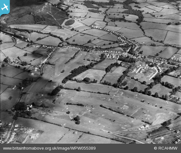
WPW055389 WALES (1937). View of Whitchurch golf club, oblique aerial view. 5"x4" black and white glass plate negative.
© Copyright OpenStreetMap contributors and licensed by the OpenStreetMap Foundation. 2024. Cartography is licensed as CC BY-SA.
Nearby Images (4)
WPW055387

WPW055388

WPW055389

WPW055392

Details
| Title | [WPW055389] View of Whitchurch golf club, oblique aerial view. 5"x4" black and white glass plate negative. |
| Reference | WPW055389 |
| Date | 1937 |
| Link | Coflein Archive Item 6378257 |
| Place name | |
| Parish | |
| District | |
| Country | WALES |
| Easting / Northing | 314933, 181458 |
| Longitude / Latitude | -3.2263378386802, 51.525140533019 |
| National Grid Reference | ST149815 |


