
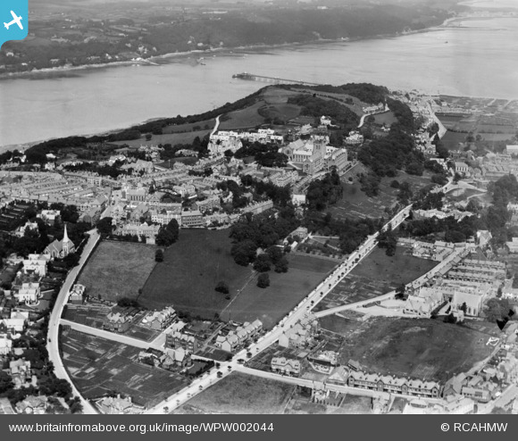
WPW002044 WALES (1920). Distant view of Bangor, oblique aerial view. 5"x4" black and white glass plate negative.
© Copyright OpenStreetMap contributors and licensed by the OpenStreetMap Foundation. 2024. Cartography is licensed as CC BY-SA.
Nearby Images (17)
WAW001734

WAW001735

WAW001738

WAW001739

WPW002036

WPW002038

WPW002040

WPW002042

WPW002043

WPW002044

WPW002045

WPW002046

WPW002047

WPW045210

WPW045211

WPW045212

WPW045213

Details
| Title | [WPW002044] Distant view of Bangor, oblique aerial view. 5"x4" black and white glass plate negative. |
| Reference | WPW002044 |
| Date | July-1920 |
| Link | Coflein Archive Item 6370246 |
| Place name | |
| Parish | |
| District | |
| Country | WALES |
| Easting / Northing | 258087, 372019 |
| Longitude / Latitude | -4.1260777865694, 53.22594875768 |
| National Grid Reference | SH581720 |
Pins
 welshman |
Wednesday 11th of July 2012 08:51:29 AM | |
welshman |
Wednesday 11th of July 2012 08:49:40 AM | |
Bwnsan |
Thursday 28th of June 2012 05:53:08 PM | |
 JMB |
Tuesday 26th of June 2012 10:45:50 PM |
User Comment Contributions
The War Memorial Arch should be visible at the position marked, it was completed in 1923. It can be seen on Image reference WPW045210 along with various science buildings to the left along Deiniol Road. |
JMB |
Tuesday 26th of June 2012 10:47:29 PM |


