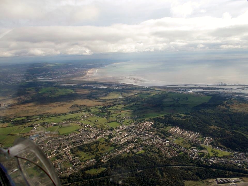
WAW026071 WALES (1949). Distant view of Swansea showing docks

© Copyright OpenStreetMap contributors and licensed by the OpenStreetMap Foundation. 2024. Cartography is licensed as CC BY-SA.
Nearby Images (48)
WAW005759

WAW005760

WAW006749

WAW006750

WAW006754

WAW006756

WAW010750

WAW010751

WAW010752

WAW026064

WAW026065

WAW026066

WAW026067

WAW026068

WAW026069

WAW026070

WAW026071

WAW026072

WPW006975

WPW006976

WPW006977

WPW006979

WPW006980

WPW006981

WPW006982

WPW006983

WPW008835

WPW029732

WPW029738

WPW029739

WPW029740

WPW029741

WPW041446

WPW041447

WPW041448

WPW041715

WPW041716

WPW041717

WPW043057

WPW043058

WPW043059

WPW043060

WPW043061

WPW043062

WPW043063

WPW054873

WPW054875

WPW061969

Details
| Title | [WAW026071] Distant view of Swansea showing docks |
| Reference | WAW026071 |
| Date | 12-August-1949 |
| Link | Coflein Archive Item 6414120 |
| Place name | |
| Parish | |
| District | |
| Country | WALES |
| Easting / Northing | 267078, 192575 |
| Longitude / Latitude | -3.9200873003443, 51.615816488966 |
| National Grid Reference | SS671926 |
Pins
Be the first to add a comment to this image!