
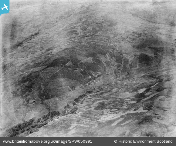
SPW050991 SCOTLAND (1936). Glenapp Estate. An oblique aerial photograph facing east.
© Copyright OpenStreetMap contributors and licensed by the OpenStreetMap Foundation. 2024. Cartography is licensed as CC BY-SA.
Details
| Title | [SPW050991] Glenapp Estate. An oblique aerial photograph facing east. |
| Reference | SPW050991 |
| Date | 1936 |
| Link | Canmore Collection item 1258057 |
| Place name | |
| Parish | BALLANTRAE (KYLE AND CARRICK) |
| District | KYLE AND CARRICK |
| Country | SCOTLAND |
| Easting / Northing | 211000, 577000 |
| Longitude / Latitude | -4.9590994267536, 55.051411040052 |
| National Grid Reference | NX110770 |
Pins
 Class31 |
Thursday 19th of July 2012 08:25:35 PM | |
Class31 |
Thursday 19th of July 2012 08:24:47 PM | |
Class31 |
Thursday 19th of July 2012 08:24:19 PM | |
Class31 |
Thursday 19th of July 2012 08:23:27 PM | |
Class31 |
Thursday 19th of July 2012 08:21:44 PM | |
Class31 |
Thursday 19th of July 2012 08:20:25 PM |
User Comment Contributions
Dear Class 31, Thanks for the identification; I'm happy to update the catalogue with these details. The topography fits very well, particularly the gullying in the Altigabert burn, as well as the dog-leg of a hill dyke crossing Benyaw. The revised record will appear here in due course. Brian Wilkinson Britain from Above Activity Officer (Scotland). |
 Brian Wilkinson |
Thursday 30th of August 2012 11:40:34 AM |
View taken from above Milljoan Hill looking North East towards Leana Hill.Altigabert Glen is in the foreground and Benyaw and Millcroon in the middle distance. Leana Burn is further away. Shot is taken from Grid NX 11204 77319 |
Class31 |
Thursday 19th of July 2012 08:33:03 PM |


