
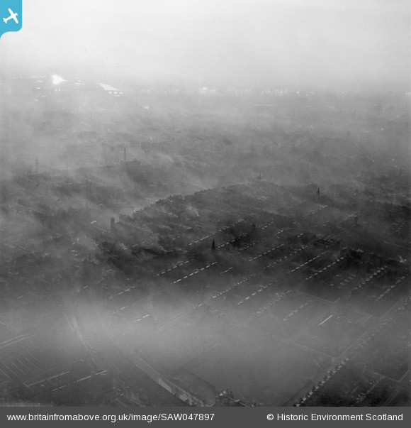
SAW047897 SCOTLAND (1952). Glasgow, general view, showing Onslow Drive and Armadale Street. An oblique aerial photograph taken facing south-west.
© Copyright OpenStreetMap contributors and licensed by the OpenStreetMap Foundation. 2024. Cartography is licensed as CC BY-SA.
Details
| Title | [SAW047897] Glasgow, general view, showing Onslow Drive and Armadale Street. An oblique aerial photograph taken facing south-west. |
| Reference | SAW047897 |
| Date | 1952 |
| Link | Canmore Collection item 1297841 |
| Place name | |
| Parish | GLASGOW (CITY OF GLASGOW) |
| District | CITY OF GLASGOW |
| Country | SCOTLAND |
| Easting / Northing | 261080, 664890 |
| Longitude / Latitude | -4.2196741987956, 55.857183866468 |
| National Grid Reference | NS611649 |
Pins
 Billy Turner |
Monday 6th of October 2014 10:34:36 PM | |
Billy Turner |
Monday 6th of October 2014 10:33:05 PM | |
Billy Turner |
Monday 6th of October 2014 10:30:28 PM | |
Billy Turner |
Monday 6th of October 2014 10:27:55 PM | |
Billy Turner |
Monday 6th of October 2014 10:22:47 PM | |
Billy Turner |
Monday 6th of October 2014 10:18:55 PM | |
 |
Billy Turner |
Monday 6th of October 2014 10:16:21 PM |
Billy Turner |
Monday 6th of October 2014 10:06:50 PM | |
Billy Turner |
Monday 6th of October 2014 10:03:26 PM | |
Billy Turner |
Monday 6th of October 2014 10:02:14 PM | |
Billy Turner |
Monday 6th of October 2014 09:59:59 PM | |
Billy Turner |
Monday 6th of October 2014 09:56:54 PM | |
Billy Turner |
Monday 6th of October 2014 09:53:29 PM | |
Billy Turner |
Monday 6th of October 2014 09:49:23 PM | |
Billy Turner |
Monday 6th of October 2014 09:38:57 PM |


