
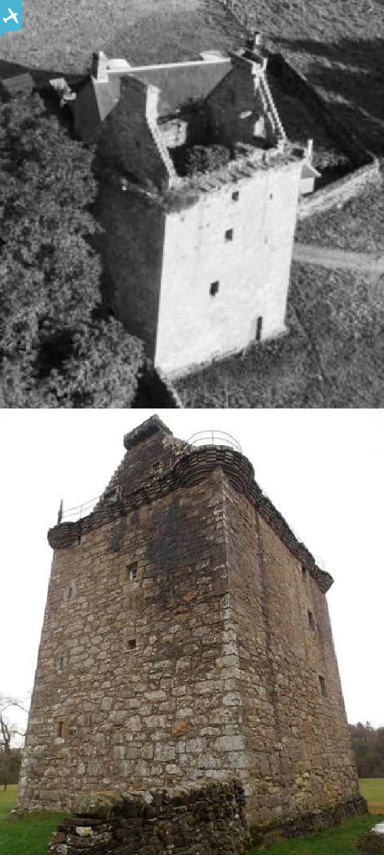
SAW009334 SCOTLAND (1947). Gilnockie Tower, Hollows. An oblique aerial photograph taken facing south.

© Copyright OpenStreetMap contributors and licensed by the OpenStreetMap Foundation. 2024. Cartography is licensed as CC BY-SA.
Nearby Images (3)
SAW009332

SAW009333

SAW009334

Details
| Title | [SAW009334] Gilnockie Tower, Hollows. An oblique aerial photograph taken facing south. |
| Reference | SAW009334 |
| Date | 1947 |
| Link | Canmore Collection item 1268587 |
| Place name | |
| Parish | CANONBIE |
| District | ANNANDALE AND ESKDALE |
| Country | SCOTLAND |
| Easting / Northing | 338231, 578559 |
| Longitude / Latitude | -2.9680745291283, 55.097541138175 |
| National Grid Reference | NY382786 |
Pins
 |
 Billy Turner |
Saturday 2nd of July 2016 05:07:31 PM |
User Comment Contributions
 Tower houses can be found across the Scottish Borders. Built to protect against the violence of cross-border strife and inter-family feuding, a tower house was a permanently occupied, fortified residence. Built from the mid-14th to the 17th century, they are rectilinear in plan, often with one or more additional wings, and provide accommodation on several storeys. |
 Brian Wilkinson |
Tuesday 17th of September 2013 01:20:58 PM |


