
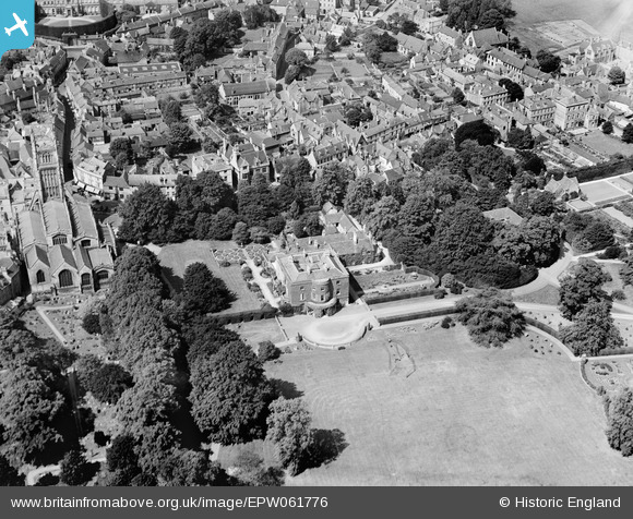
EPW061776 ENGLAND (1939). St John the Baptist's Church and Abbey House, Cirencester, 1939
© Copyright OpenStreetMap contributors and licensed by the OpenStreetMap Foundation. 2024. Cartography is licensed as CC BY-SA.
Nearby Images (19)
EPW061776

EPW061775

EPW061780

EAW031681

EAW006877

EPW022416

EPW022410

EPW022412

EPW022413

EPW006310

EPW022417

EAW031677

EPW022408

EPW022407

EPW022415

EAW031680

EPW061779

EAW015789

EAW015788

Details
| Title | [EPW061776] St John the Baptist's Church and Abbey House, Cirencester, 1939 |
| Reference | EPW061776 |
| Date | 8-June-1939 |
| Link | |
| Place name | CIRENCESTER |
| Parish | CIRENCESTER |
| District | |
| Country | ENGLAND |
| Easting / Northing | 402316, 202183 |
| Longitude / Latitude | -1.9664710213892, 51.717910968064 |
| National Grid Reference | SP023022 |
Pins
 Alan McFaden |
Friday 23rd of August 2013 10:24:55 AM | |
Alan McFaden |
Friday 23rd of August 2013 10:24:20 AM |


