
EPW061122 ENGLAND (1939). Birchwood, Hatfield Park and Millward's Park and environs, Hatfield, 1939

© Copyright OpenStreetMap contributors and licensed by the OpenStreetMap Foundation. 2024. Cartography is licensed as CC BY-SA.
Details
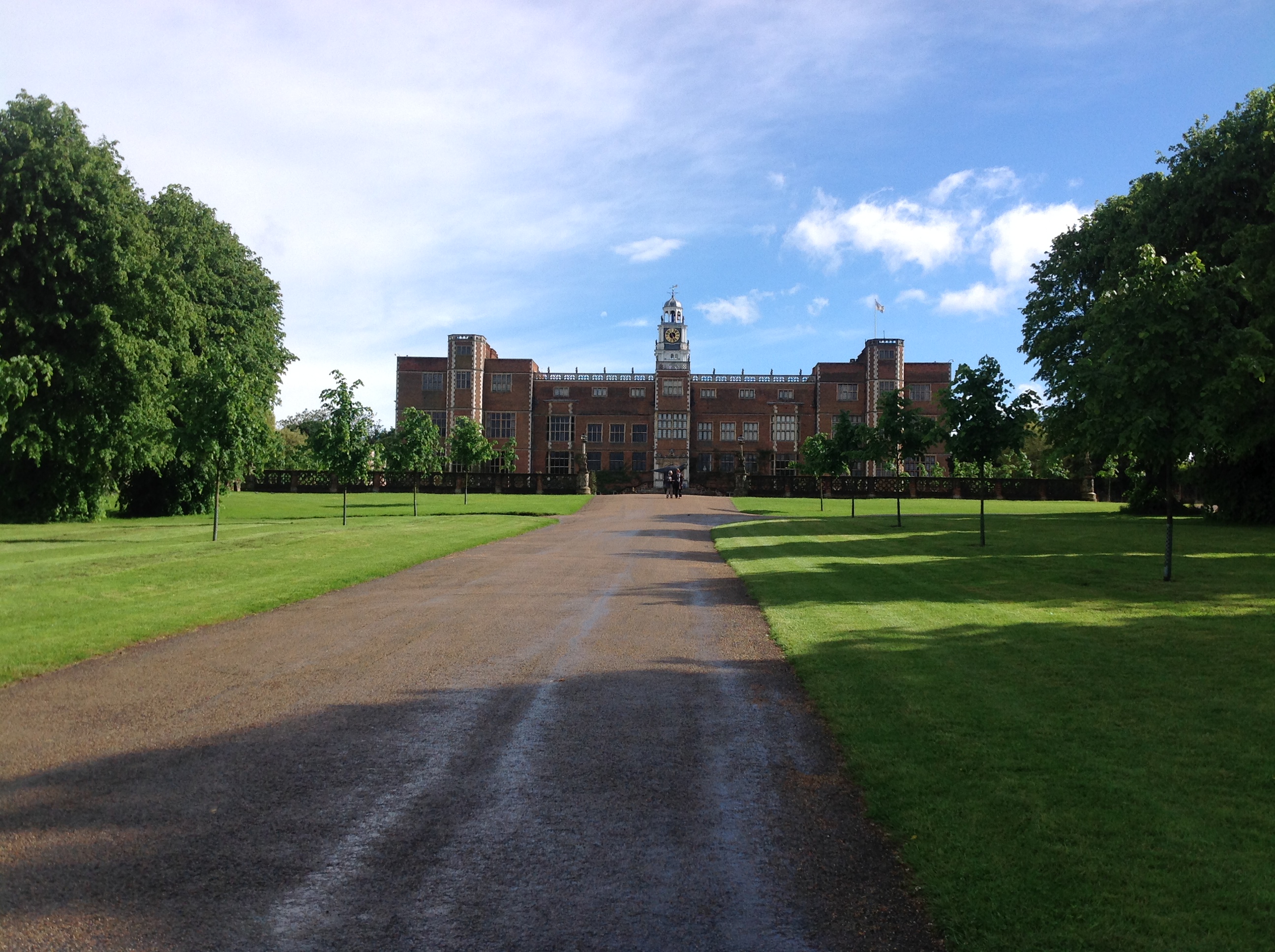
| Title | [EPW061122] Birchwood, Hatfield Park and Millward's Park and environs, Hatfield, 1939 |
| Reference | EPW061122 |
| Date | 30-May-1939 |
| Link | |
| Place name | HATFIELD |
| Parish | HATFIELD |
| District | |
| Country | ENGLAND |
| Easting / Northing | 523287, 208086 |
| Longitude / Latitude | -0.21353639072973, 51.757420309022 |
| National Grid Reference | TL233081 |
Pins
 John W |
Thursday 23rd of July 2020 07:23:55 PM | |
John W |
Tuesday 6th of December 2016 04:01:54 PM | |
John W |
Tuesday 6th of December 2016 04:01:11 PM | |
ColinM |
Friday 14th of March 2014 10:09:37 PM | |
ColinM |
Friday 14th of March 2014 10:04:56 PM | |
ColinM |
Friday 14th of March 2014 10:04:19 PM | |
ColinM |
Friday 14th of March 2014 10:03:16 PM | |
Correction Ground Lane |
ColinM |
Friday 14th of March 2014 10:05:33 PM |
ColinM |
Friday 14th of March 2014 10:02:32 PM | |
ColinM |
Friday 14th of March 2014 10:01:55 PM | |
ColinM |
Friday 14th of March 2014 10:01:12 PM | |
ColinM |
Friday 14th of March 2014 10:00:40 PM |
User Comment Contributions
 Hatfield House from the north, Hatfield 24/05/2014 |
 Class31 |
Tuesday 27th of May 2014 10:45:37 AM |


