
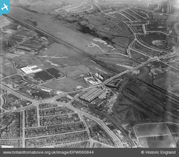
EPW060844 ENGLAND (1939). The Bromford Tube Co Works, the Birmingham Race Course and the surrounding residential area, Bromford, 1939
© Copyright OpenStreetMap contributors and licensed by the OpenStreetMap Foundation. 2024. Cartography is licensed as CC BY-SA.
Nearby Images (11)
EPW060844

EPW060846

EPW060845

EPW060847

EPW060841

EPW060842

EPW060848

EPW060838

EPW031996

EPW031995

EPW060840

Details
| Title | [EPW060844] The Bromford Tube Co Works, the Birmingham Race Course and the surrounding residential area, Bromford, 1939 |
| Reference | EPW060844 |
| Date | 25-April-1939 |
| Link | |
| Place name | BROMFORD |
| Parish | |
| District | |
| Country | ENGLAND |
| Easting / Northing | 411630, 289916 |
| Longitude / Latitude | -1.82863358341, 52.506649003917 |
| National Grid Reference | SP116899 |


