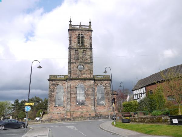
EPW058395 ENGLAND (1938). The town centre, Whitchurch, 1938

© Copyright OpenStreetMap contributors and licensed by the OpenStreetMap Foundation. 2024. Cartography is licensed as CC BY-SA.
Nearby Images (5)
EPW058395

EPW058394

EPW058393

EPW058350

EPW058352

Details
| Title | [EPW058395] The town centre, Whitchurch, 1938 |
| Reference | EPW058395 |
| Date | 28-July-1938 |
| Link | |
| Place name | WHITCHURCH |
| Parish | WHITCHURCH URBAN |
| District | |
| Country | ENGLAND |
| Easting / Northing | 354108, 341605 |
| Longitude / Latitude | -2.6834178983401, 52.9695245115 |
| National Grid Reference | SJ541416 |
Pins
 HelsyB |
Thursday 4th of February 2021 09:42:42 AM | |
HelsyB |
Thursday 4th of February 2021 09:38:52 AM | |
HelsyB |
Thursday 4th of February 2021 09:34:25 AM | |
HelsyB |
Thursday 4th of February 2021 09:33:36 AM | |
 Class31 |
Tuesday 3rd of May 2016 06:11:58 PM | |
BV |
Sunday 9th of March 2014 05:46:51 PM | |
BV |
Sunday 9th of March 2014 05:45:24 PM | |
BV |
Sunday 9th of March 2014 05:36:25 PM | |
BV |
Sunday 9th of March 2014 05:32:43 PM |