
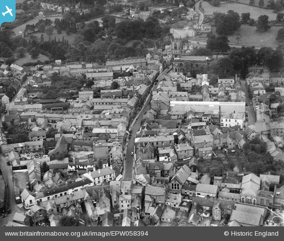
EPW058394 ENGLAND (1938). The High Street and environs, Whitchurch, 1938
© Copyright OpenStreetMap contributors and licensed by the OpenStreetMap Foundation. 2024. Cartography is licensed as CC BY-SA.
Nearby Images (3)
EPW058394

EPW058395

EPW058393

Details
| Title | [EPW058394] The High Street and environs, Whitchurch, 1938 |
| Reference | EPW058394 |
| Date | 28-July-1938 |
| Link | |
| Place name | WHITCHURCH |
| Parish | WHITCHURCH URBAN |
| District | |
| Country | ENGLAND |
| Easting / Northing | 354138, 341598 |
| Longitude / Latitude | -2.6829701848384, 52.969464151447 |
| National Grid Reference | SJ541416 |


