
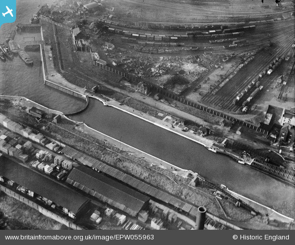
EPW055963 ENGLAND (1937). Lock at Thames Wharf, Silvertown, 1937
© Copyright OpenStreetMap contributors and licensed by the OpenStreetMap Foundation. 2024. Cartography is licensed as CC BY-SA.
Nearby Images (20)
EPW055963

EPW055967

EPW055966

EPW055968

EPW055964

EPW055961

EPW055965

EPW055959

EPW059394

EPW055962

EPW059393

EPW059395

EPW055960

EAW009065

EAW008818

EPW005645

EPW059454

EPW006146

EAW000038

EAW009064

Details
| Title | [EPW055963] Lock at Thames Wharf, Silvertown, 1937 |
| Reference | EPW055963 |
| Date | 9-November-1937 |
| Link | |
| Place name | SILVERTOWN |
| Parish | |
| District | |
| Country | ENGLAND |
| Easting / Northing | 539890, 180413 |
| Longitude / Latitude | 0.015835907940391, 51.504829916004 |
| National Grid Reference | TQ399804 |
Pins
Be the first to add a comment to this image!


