
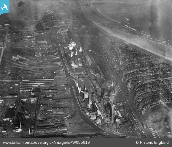
EPW055919 ENGLAND (1937). The South Durham Iron and Steel Works, Hartlepool, 1937
© Copyright OpenStreetMap contributors and licensed by the OpenStreetMap Foundation. 2024. Cartography is licensed as CC BY-SA.
Nearby Images (8)
EPW055919

EPW055918

EPW055921

EPW055917

EPW055923

EPW049490

EPW049489

EPW055920

Details
| Title | [EPW055919] The South Durham Iron and Steel Works, Hartlepool, 1937 |
| Reference | EPW055919 |
| Date | 28-October-1937 |
| Link | |
| Place name | HARTLEPOOL |
| Parish | |
| District | |
| Country | ENGLAND |
| Easting / Northing | 451592, 531168 |
| Longitude / Latitude | -1.199889179201, 54.672824745877 |
| National Grid Reference | NZ516312 |
Pins
 paulc924 |
Saturday 11th of July 2015 08:49:30 PM |


