
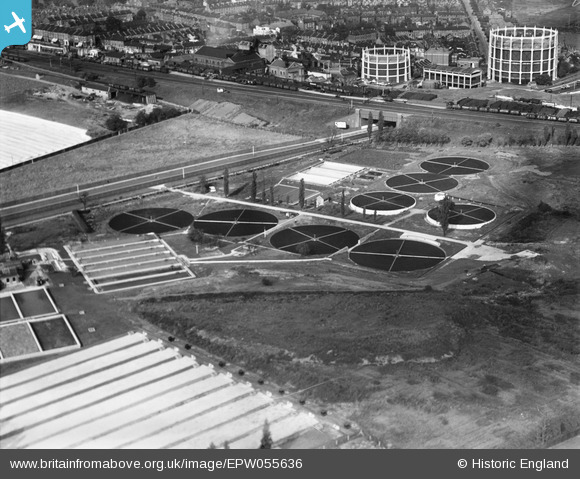
EPW055636 ENGLAND (1937). Friern Barnet Urban District Council Sewage Works, Muswell Hill, 1937
© Copyright OpenStreetMap contributors and licensed by the OpenStreetMap Foundation. 2024. Cartography is licensed as CC BY-SA.
Nearby Images (9)
EPW055636

EPW055639

EPW055635

EPW055638

EPW055637

EPW055634

EPW055641

EPW055640

EPW016899

Details
| Title | [EPW055636] Friern Barnet Urban District Council Sewage Works, Muswell Hill, 1937 |
| Reference | EPW055636 |
| Date | 30-September-1937 |
| Link | |
| Place name | MUSWELL HILL |
| Parish | |
| District | |
| Country | ENGLAND |
| Easting / Northing | 528865, 191650 |
| Longitude / Latitude | -0.13882326452088, 51.608446525752 |
| National Grid Reference | TQ289917 |
Pins
 melgibbs |
Monday 21st of April 2014 08:30:20 PM |


