EPW055212 ENGLAND (1937). The Fort Dunlop Rubber Works, Bromford, from the south-west, 1937

© Copyright OpenStreetMap contributors and licensed by the OpenStreetMap Foundation. 2024. Cartography is licensed as CC BY-SA.
Nearby Images (18)
EPW055212

EPW025791

EPW022581

EPW055215

EPW026939

EPW055214

EPW026940

EPW026937

EPW001206

EPW026943

EPW055216

EPW026936

EPW026934

EPW026935

EPW026938

EPW055218

EPW053751

EPW055211

Details
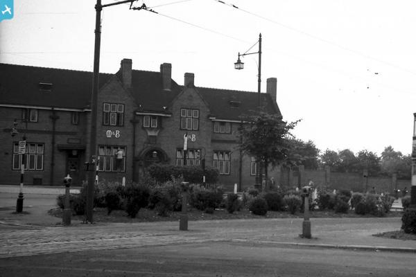
| Title | [EPW055212] The Fort Dunlop Rubber Works, Bromford, from the south-west, 1937 |
| Reference | EPW055212 |
| Date | 4-September-1937 |
| Link | |
| Place name | BROMFORD |
| Parish | |
| District | |
| Country | ENGLAND |
| Easting / Northing | 412507, 290284 |
| Longitude / Latitude | -1.8156973423174, 52.50993824452 |
| National Grid Reference | SP125903 |
Pins
 frothy |
Wednesday 17th of August 2022 07:59:11 PM | |
frothy |
Wednesday 17th of April 2019 08:45:09 AM | |
frothy |
Wednesday 17th of April 2019 08:43:33 AM | |
frothy |
Wednesday 17th of April 2019 08:42:59 AM | |
frothy |
Wednesday 17th of April 2019 08:41:07 AM | |
frothy |
Wednesday 17th of April 2019 08:40:33 AM | |
frothy |
Wednesday 17th of April 2019 08:37:11 AM | |
frothy |
Wednesday 17th of April 2019 08:34:07 AM | |
frothy |
Wednesday 17th of April 2019 08:30:48 AM | |
frothy |
Wednesday 17th of April 2019 08:28:24 AM | |
 Templer |
Thursday 5th of September 2013 10:46:50 PM |