
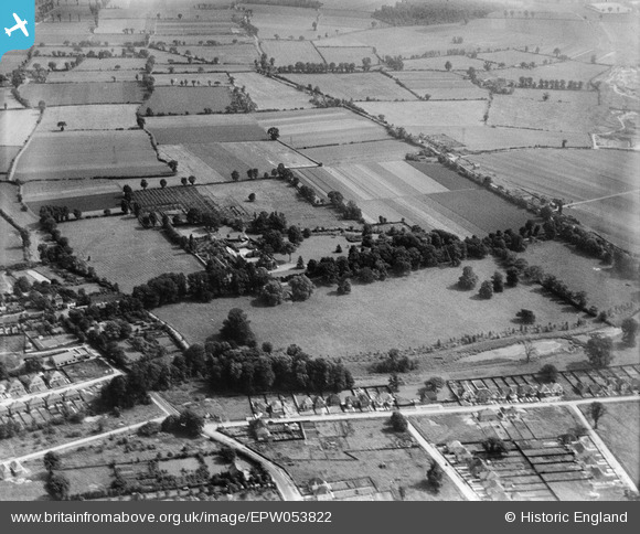
EPW053822 ENGLAND (1937). Harwood Hall and the surrounding countryside, Upminster, 1937
© Copyright OpenStreetMap contributors and licensed by the OpenStreetMap Foundation. 2024. Cartography is licensed as CC BY-SA.
Nearby Images (10)
EPW053822

EPW053815

EPW053824

EPW053821

EPW053818

EPW053820

EPW053816

EPW053817

EPW053819

EPW053823

Details
| Title | [EPW053822] Harwood Hall and the surrounding countryside, Upminster, 1937 |
| Reference | EPW053822 |
| Date | 26-June-1937 |
| Link | |
| Place name | UPMINSTER |
| Parish | |
| District | |
| Country | ENGLAND |
| Easting / Northing | 555972, 184845 |
| Longitude / Latitude | 0.24936007950301, 51.540443983722 |
| National Grid Reference | TQ560848 |
Pins
 GeoffR |
Thursday 15th of January 2015 05:03:38 PM | |
GeoffR |
Thursday 15th of January 2015 05:02:45 PM | |
GeoffR |
Thursday 15th of January 2015 05:01:59 PM | |
GeoffR |
Thursday 15th of January 2015 05:01:28 PM | |
GeoffR |
Thursday 15th of January 2015 05:00:57 PM | |
GeoffR |
Thursday 15th of January 2015 05:00:15 PM |


