
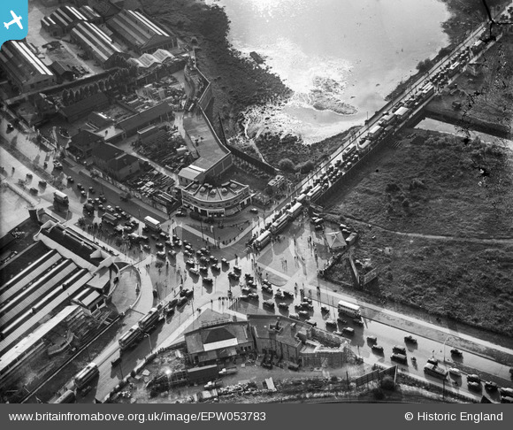
EPW053783 ENGLAND (1937). Traffic congestion at Staples Corner, Dollis Hill, 1937
© Copyright OpenStreetMap contributors and licensed by the OpenStreetMap Foundation. 2024. Cartography is licensed as CC BY-SA.
Nearby Images (28)
EPW053783

EPW053785

EAW048505

EPW038802

EPW032171

EPW032172

EAW048509

EPW038799

EAW048506

EAW048508

EAW048512

EAW048511

EAW048510

EPW013748

EAW048507

EPW050426

EPW050427

EPW020220

EPW032145

EPW032146

EPW032152

EPW032153

EPW032144

EPW057606

EPW032151

EPW020221

EPW052477

EPW053786

Details
| Title | [EPW053783] Traffic congestion at Staples Corner, Dollis Hill, 1937 |
| Reference | EPW053783 |
| Date | 26-June-1937 |
| Link | |
| Place name | DOLLIS HILL |
| Parish | |
| District | |
| Country | ENGLAND |
| Easting / Northing | 522571, 187290 |
| Longitude / Latitude | -0.23120161757723, 51.570664114431 |
| National Grid Reference | TQ226873 |
Pins
 Greeny |
Monday 4th of November 2013 03:43:07 PM | |
Greeny |
Monday 4th of November 2013 03:42:21 PM | |
Greeny |
Monday 4th of November 2013 03:41:51 PM | |
Greeny |
Monday 4th of November 2013 03:40:09 PM |
User Comment Contributions
Photo 6 in this c1949 series of shopping in Willesden shows the shops on the NW corner of the junction. https://www.flickr.com/photos/36844288@N00/28776349340/in/dateposted/ |
Mikeya |
Thursday 18th of August 2016 10:51:22 AM |
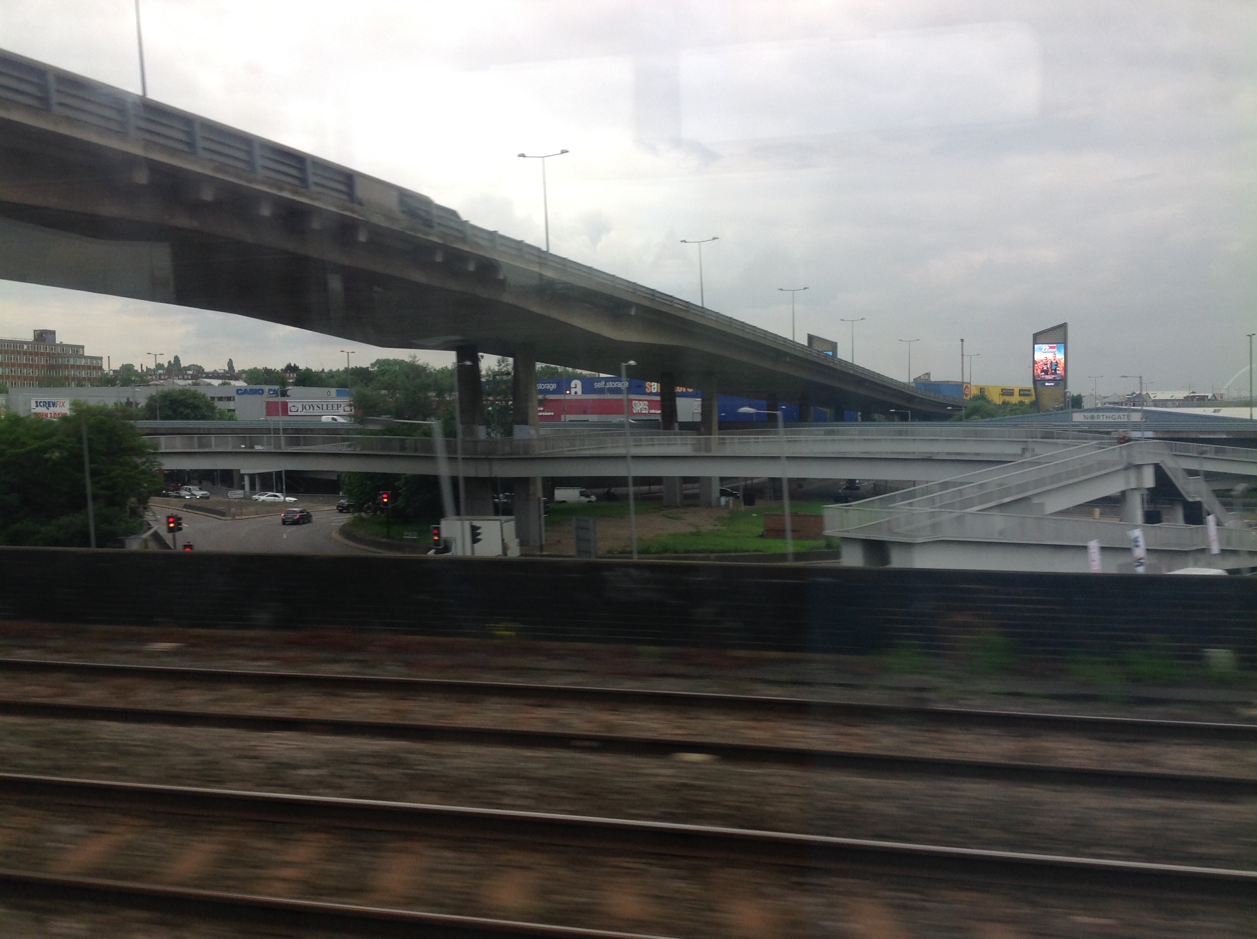 Staples Corner from a train, 02/06/2014 |
 Class31 |
Wednesday 4th of June 2014 01:24:33 PM |


