
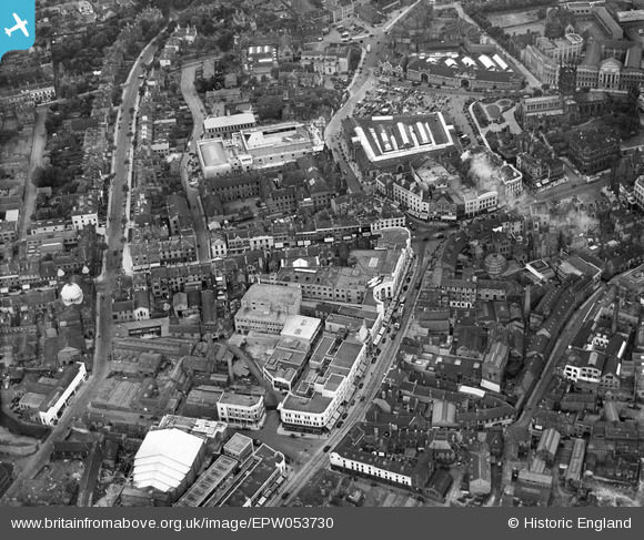
EPW053730 ENGLAND (1937). The city centre picturing Victoria Street, the Market Hall and the Civic Hall, Wolverhampton, 1937
© Copyright OpenStreetMap contributors and licensed by the OpenStreetMap Foundation. 2024. Cartography is licensed as CC BY-SA.
Nearby Images (15)
EPW053730

EPR000569

EPW057473

EPW057479

EPW011835

EPW053724

EPR000556

EPW057476

EPW053729

EPW022595

EPW053728

EPW011832

EPW022897

EPW057472

EPW053731

Details
| Title | [EPW053730] The city centre picturing Victoria Street, the Market Hall and the Civic Hall, Wolverhampton, 1937 |
| Reference | EPW053730 |
| Date | June-1937 |
| Link | |
| Place name | WOLVERHAMPTON |
| Parish | |
| District | |
| Country | ENGLAND |
| Easting / Northing | 391278, 298633 |
| Longitude / Latitude | -2.1287467000398, 52.585076833555 |
| National Grid Reference | SO913986 |


