
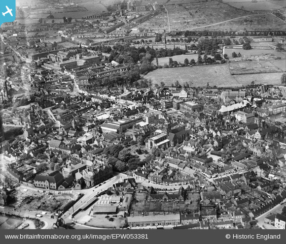
EPW053381 ENGLAND (1937). St Mary's Church and the town centre, Stafford, 1937
© Copyright OpenStreetMap contributors and licensed by the OpenStreetMap Foundation. 2024. Cartography is licensed as CC BY-SA.
Nearby Images (22)
EPW053381

EPW053380

EAW001865

EAW001866

EPW014106

EAW024958

EAW001867

EPW034022

EPW014109

EPW020050

EAW024955

EPW053375

EAW024954

EPW014113

EAW046078

EPW017027

EAW024968

EAW024967

EAW024957

EAW024962
, Stafford, 1949. This image has been produced from a damaged negative.")
EAW024963

EAW024961
, Stafford, 1949. This image has been produced from a damaged negative.")
Details
| Title | [EPW053381] St Mary's Church and the town centre, Stafford, 1937 |
| Reference | EPW053381 |
| Date | 30-May-1937 |
| Link | |
| Place name | STAFFORD |
| Parish | |
| District | |
| Country | ENGLAND |
| Easting / Northing | 392142, 323301 |
| Longitude / Latitude | -2.1165824421263, 52.806871623321 |
| National Grid Reference | SJ921233 |
Pins
 Phil Bradshaw |
Tuesday 6th of July 2021 09:49:57 PM | |
Phil Bradshaw |
Tuesday 6th of July 2021 09:42:59 PM |


