
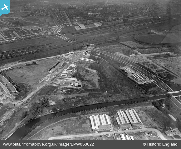
EPW053022 ENGLAND (1937). Construction of housing and industrial buildings along Beresford Avenue and Brent Junction, Alperton, 1937
© Copyright OpenStreetMap contributors and licensed by the OpenStreetMap Foundation. 2024. Cartography is licensed as CC BY-SA.
Nearby Images (30)
EPW053022

EPW053017

EPW051675

EPW051679

EPW056468

EPW051677

EPW056467

EPW056366

EPW052465

EPW051676

EPW051672

EPW053019

EPW053016

EPW052467

EPW056469

EPW051680

EPW053021

EPW053018

EPW056470

EPW051674

EPW051678

EPW056086

EPW056464

EPW056088

EPW056463

EPW056415
, Alperton, 1938")
EPW051673

EPW056465

EPW056762

EAW017045

Details
| Title | [EPW053022] Construction of housing and industrial buildings along Beresford Avenue and Brent Junction, Alperton, 1937 |
| Reference | EPW053022 |
| Date | 17-May-1937 |
| Link | |
| Place name | ALPERTON |
| Parish | |
| District | |
| Country | ENGLAND |
| Easting / Northing | 519355, 183820 |
| Longitude / Latitude | -0.27876620971266, 51.540164627649 |
| National Grid Reference | TQ194838 |
Pins
 Rudgey |
Sunday 25th of June 2017 06:50:29 PM |


