
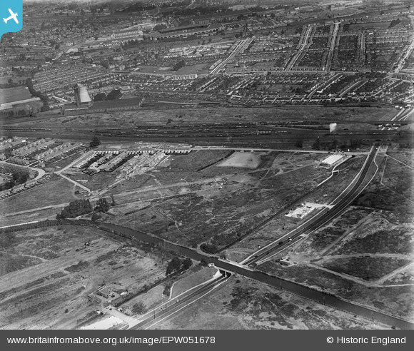
EPW051678 ENGLAND (1936). Construction of Beresford Avenue and housing at Kenmere Gardens and environs, Alperton, 1936
© Copyright OpenStreetMap contributors and licensed by the OpenStreetMap Foundation. 2024. Cartography is licensed as CC BY-SA.
Nearby Images (42)
EPW051678

EPW051674

EPW053021

EPW053018

EPW051676

EPW052465

EPW056366

EPW056467

EPW056468

EPW051673

EPW053017

EPW051672

EPW053020

EPW051675

EPW052467

EPW051679

EPW053022

EPW051680

EPW056469

EPW056464

EPW056463

EPW056465

EPW056470

EPW053019

EPW056415
, Alperton, 1938")
EPW051677

EPW056417
, Alperton, 1938")
EPW056418
, Alperton, 1938. This image has been affected by flare.")
EPW056416
, Alperton, 1938")
EPW056462

EPW053016

EPW056466

EPW056420
, Alperton, 1938")
EPW056461

EPW056762

EPW056414
, Alperton, 1938")
EPW056460

EAW026663

EPW056419
, Alperton, 1938")
EAW026665

EAW026662

EAW026664

Details
| Title | [EPW051678] Construction of Beresford Avenue and housing at Kenmere Gardens and environs, Alperton, 1936 |
| Reference | EPW051678 |
| Date | August-1936 |
| Link | |
| Place name | ALPERTON |
| Parish | |
| District | |
| Country | ENGLAND |
| Easting / Northing | 519249, 183967 |
| Longitude / Latitude | -0.28024429176459, 51.541508330326 |
| National Grid Reference | TQ192840 |
Pins
 The Laird |
Wednesday 2nd of February 2022 02:43:18 PM | |
The Laird |
Wednesday 2nd of February 2022 02:40:03 PM | |
The Laird |
Wednesday 2nd of February 2022 02:37:45 PM |


