
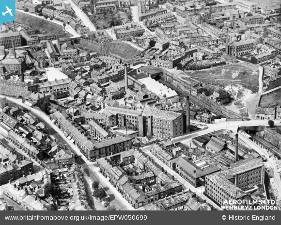
EPW050699 ENGLAND (1936). Waterside and environs, Macclesfield, 1936. This image has been produced from a copy-negative.
© Copyright OpenStreetMap contributors and licensed by the OpenStreetMap Foundation. 2024. Cartography is licensed as CC BY-SA.
Nearby Images (11)
EPW050699

EPW050698

EAW018058

EAW018062

EAW018059

EAW018060

EAW018057

EPW057642

EAW018061

EAW018063

EPW016741

Details
| Title | [EPW050699] Waterside and environs, Macclesfield, 1936. This image has been produced from a copy-negative. |
| Reference | EPW050699 |
| Date | June-1936 |
| Link | |
| Place name | MACCLESFIELD |
| Parish | |
| District | |
| Country | ENGLAND |
| Easting / Northing | 392054, 373035 |
| Longitude / Latitude | -2.1191135783821, 53.253986566517 |
| National Grid Reference | SJ921730 |
Pins
 jonnyhud |
Tuesday 22nd of December 2015 01:55:01 PM | |
jonnyhud |
Tuesday 22nd of December 2015 01:54:10 PM | |
jonnyhud |
Tuesday 22nd of December 2015 01:53:34 PM | |
jonnyhud |
Tuesday 22nd of December 2015 01:52:49 PM | |
jonnyhud |
Tuesday 22nd of December 2015 01:52:04 PM |


