
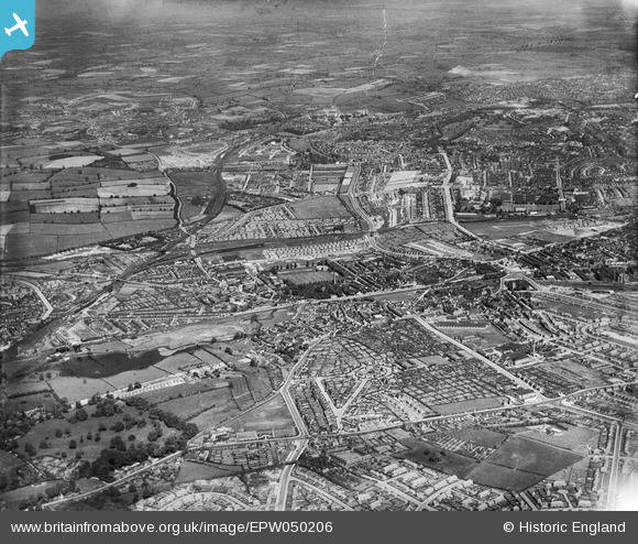
EPW050206 ENGLAND (1936). New housing estates and adjacent countryside, Old Basford, from the west, 1936
© Copyright OpenStreetMap contributors and licensed by the OpenStreetMap Foundation. 2024. Cartography is licensed as CC BY-SA.
Nearby Images (2)
EPW050206

EAW002796
 and the surrounding residential area, Old Basford, 1946")
Details
| Title | [EPW050206] New housing estates and adjacent countryside, Old Basford, from the west, 1936 |
| Reference | EPW050206 |
| Date | May-1936 |
| Link | |
| Place name | OLD BASFORD |
| Parish | |
| District | |
| Country | ENGLAND |
| Easting / Northing | 454738, 343164 |
| Longitude / Latitude | -1.1845981923847, 52.982708665501 |
| National Grid Reference | SK547432 |
Pins
 Nottingham Removals & Storage Ltd |
Sunday 27th of April 2014 09:37:23 PM | |
Nottingham Removals & Storage Ltd |
Sunday 27th of April 2014 09:35:43 PM | |
 Sarah |
Sunday 7th of July 2013 10:24:39 PM | |
Sarah |
Sunday 7th of July 2013 10:23:28 PM | |
Sarah |
Sunday 7th of July 2013 10:22:27 PM |


