
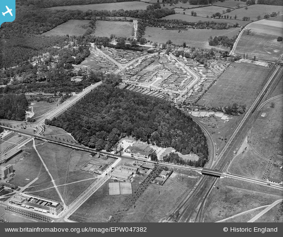
EPW047382 ENGLAND (1935). Digswell Junction and the Cherry Tree Restaurant, Welwyn Garden City, 1935
© Copyright OpenStreetMap contributors and licensed by the OpenStreetMap Foundation. 2024. Cartography is licensed as CC BY-SA.
Nearby Images (19)
EPW047382

EPW062048

EPW062049

EPW047380

EPW054490

EPW047381

EPW047383

EPW054502

EPW054505

EPW062052

EPW062002

EPW062005

EPW062001

EPW062003

EPW062006

EPW054504

EPW022023

EPW022024

EPW022026

Details
| Title | [EPW047382] Digswell Junction and the Cherry Tree Restaurant, Welwyn Garden City, 1935 |
| Reference | EPW047382 |
| Date | May-1935 |
| Link | |
| Place name | WELWYN GARDEN CITY |
| Parish | |
| District | |
| Country | ENGLAND |
| Easting / Northing | 523869, 213353 |
| Longitude / Latitude | -0.203227523687, 51.804629848692 |
| National Grid Reference | TL239134 |
Pins
 Chells809 |
Tuesday 23rd of July 2013 10:06:18 PM | |
Chells809 |
Tuesday 23rd of July 2013 10:05:25 PM | |
Chells809 |
Tuesday 23rd of July 2013 10:04:21 PM | |
Chells809 |
Tuesday 23rd of July 2013 10:03:05 PM | |
Chells809 |
Tuesday 23rd of July 2013 10:02:10 PM | |
Chells809 |
Tuesday 23rd of July 2013 10:00:53 PM | |
Chells809 |
Tuesday 23rd of July 2013 10:00:09 PM | |
Chells809 |
Tuesday 23rd of July 2013 09:59:04 PM |


