
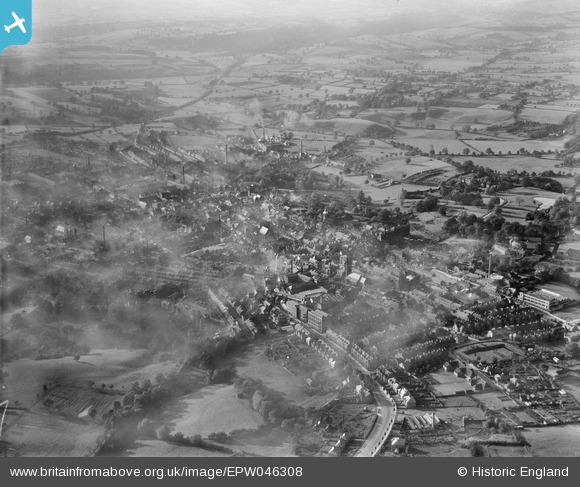
EPW046308 ENGLAND (1934). Ashbourne Road and the town, Leek, from the south-east, 1934
© Copyright OpenStreetMap contributors and licensed by the OpenStreetMap Foundation. 2024. Cartography is licensed as CC BY-SA.
Nearby Images (13)
EPW046308

EPW046317

EPW046321

EPW046318

EPW046319

EPW046316

EPW046322

EPW046315

EPW046323

EPW046320

EPW034246

EPW046307

EPW034241

Details
| Title | [EPW046308] Ashbourne Road and the town, Leek, from the south-east, 1934 |
| Reference | EPW046308 |
| Date | October-1934 |
| Link | |
| Place name | LEEK |
| Parish | LEEK |
| District | |
| Country | ENGLAND |
| Easting / Northing | 398975, 356349 |
| Longitude / Latitude | -2.0153116501033, 53.104038834202 |
| National Grid Reference | SJ990563 |
Pins
Be the first to add a comment to this image!


